
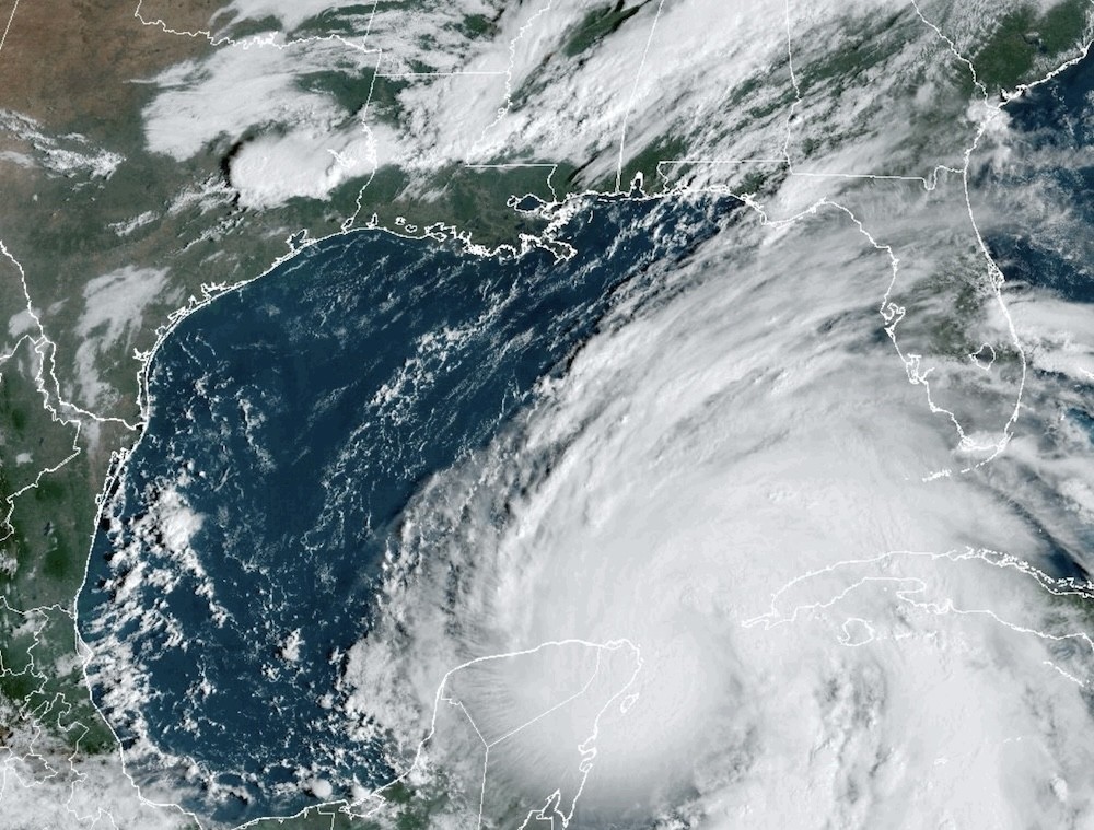
According to the National Hurricane Center's 11 a.m. advisory, the center of the storm was located about 85 miles north-northeast of Cozumel, Mexico, and 500 miles south-southwest of Tampa.
Its sustained winds have increased to 80 mph and are moving near 10 mph. Hurricane-force winds extend up to 25 miles from the center and tropical-storm-force winds extend out 275 miles from the center. Helene is currently moving toward the north-northwest, but the path is expected to shift Wednesday afternoon.
The system is expected to pick up speed Wednesday and Thursday, potentially reaching Florida's Big Bend coast Thursday evening as a Category 3 or higher.
"After landfall, Helene is expected to slow down and turn toward the northwest over the southeastern United States Friday and Saturday," the NHC says.
All of East Central Florida has been upgraded to a tropical storm warning, which can include wind gusts up to 50 to 60 mph and localized flooding, according to the National Weather Service. A few tornadoes cannot be ruled out, they say.
NWS says conditions will become too dangerous for storm prep by Wednesday night. Tropical storm conditions can be expected in the warning area, which includes Orange, Seminole, Osceola, Lake, Okeechobee, Volusia, Brevard, Indian River, St. Lucie and Martin counties.
Conditions are expected to deteriorate Wednesday night into Thursday morning. The window to storm prep will close late this afternoon, according to the National Weather Service.
Wed 9/25, 11 AM | Hurricane #Helene will continue to move northward into the Gulf of Mexico today. As it moves into the Gulf, conditions over East Central FL will deteriorate late tonight and Thursday. The Window to complete any storm preps will close later this afternoon. #FLwx pic.twitter.com/6jShMOsrNz
— NWS Melbourne (@NWSMelbourne) September 25, 2024
Subscribe to Orlando Weekly newsletters.
Follow us: Apple News | Google News | NewsBreak | Reddit | Instagram | Facebook | Twitter | Or sign up for our RSS Feed
